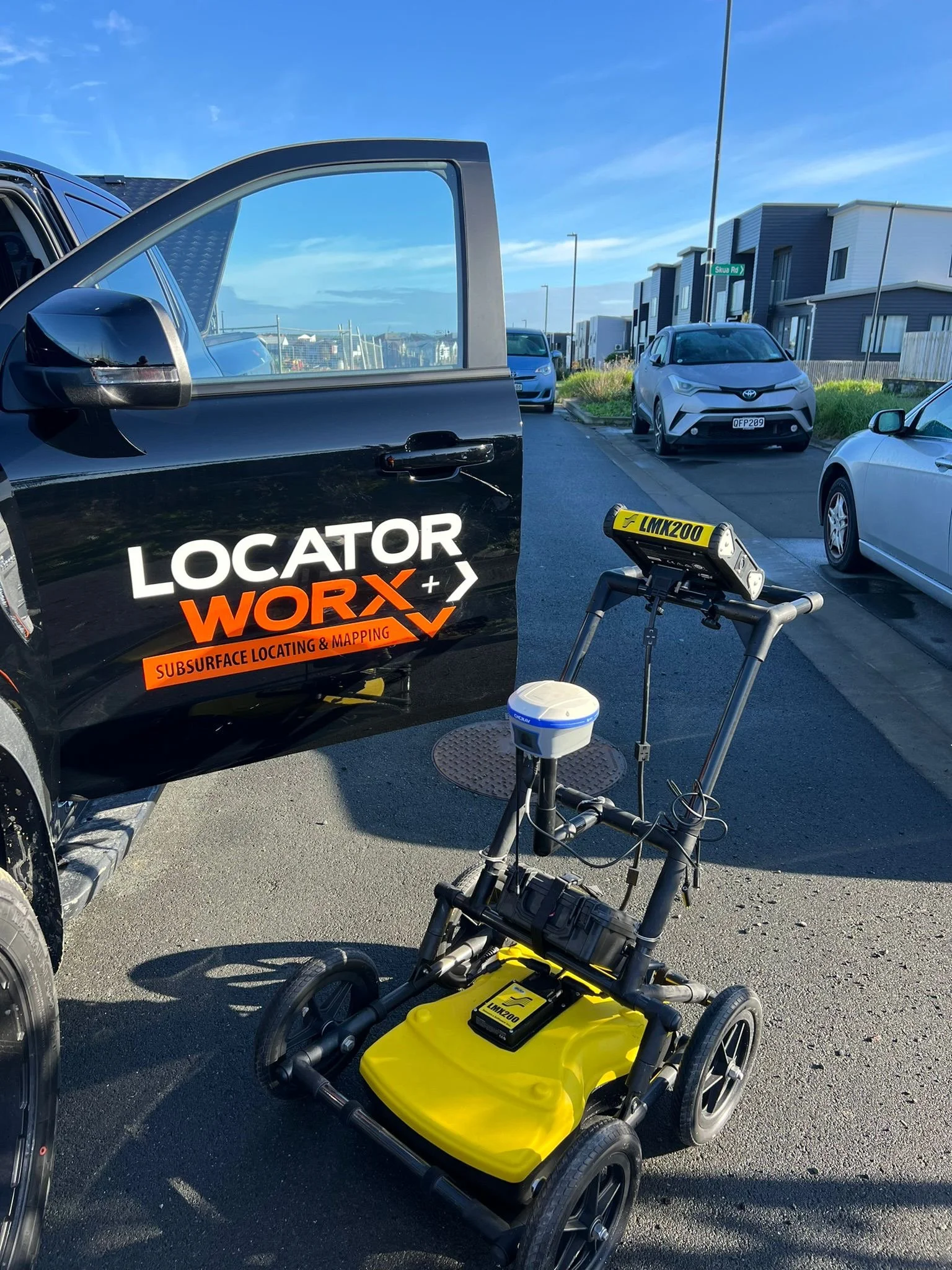
Utility Surveys
Utility Surveys, also known as subsurface utility locating or utility mapping, are surveys to identify and map the underground utilities, including water and sewer, gas, electrical, telecommunications, and more.
At Locator Worx, our advanced Utility Surveys use cutting-edge technologies to reveal hidden infrastructure, offering in-depth insights into subsurface utilities. Whether you’re embarking on a construction project or need precise utility data, our surveys provide accurate information to support informed decision-making. In construction and development, unseen subsurface elements are crucial. Subsurface Utility Surveys are essential for ensuring the safety, efficiency, and success of projects by delivering a thorough understanding of the underground utility network.
Risk Mitigation: Construction activities can present significant risks if utilities are inadvertently damaged. Subsurface utility surveys provide precise data that directs excavation work, reducing the likelihood of utility strikes and enhancing safety.
Cost Efficiency: Accurate mapping of subsurface infrastructure prevents costly delays and revisions caused by unexpected utility encounters. This accuracy leads to substantial cost savings for your project.
In the complex realm of infrastructure, Drainage and Sewer Surveys are crucial for ensuring efficient waste management and mitigating potential hazards. These surveys utilize various technologies to evaluate the location of sewer systems, pits, chambers, and pipelines. This vital data supports resource consent requirements, effective maintenance, rehabilitation, and planning of drainage networks.
